My First Trip to the San Juan Mountains of Colorado
- Daniel Forster

- Jul 9, 2024
- 2 min read
Updated: Aug 1, 2025
Four years ago, I made my first trip to the San Juan Mountains of Colorado. I knew very little about this rugged terrain other than seeing some photos. I had done a little research about the "roads", but not nearly enough.
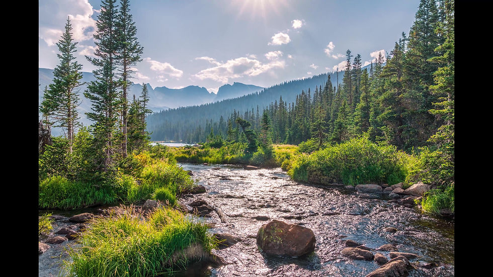
I started out in Lake City and actually put "American Basin" into Google Maps. Some will say I tend to learn things the hard way. Well, in this case, using Google Maps in the San Juans was a hard lesson. Thankfully I did not try to follow the suggested route through a raging river. But, I did end up going a way longer and more difficult path to get there. From this photo, you can see I did arrive safely.
Moral of the story, there are apps that actually have good information for the mountain 4x4 trails in the San Juans. These apps are designed for these trails and are usually updated with information like trail closures and such.

Hopefully this post saves someone out there from some of the troubles I've experienced going off road. I typically use the onX app, onxmaps.com. However, I've been told trailsoffroad.com is better for Colorado trails.
Also, there are multiple Facebook pages and groups regarding Colorado 4x4 trail information and off road recovery. All are good for staying updated regarding the current status of trails.
Here are a few:
If you made this far, have fun and be safe out there!
Check out my Landscape photography and Nature prints in my Portfolio of work.
Do you want to know what camera gear I use? I have it listed on my Gear Page.
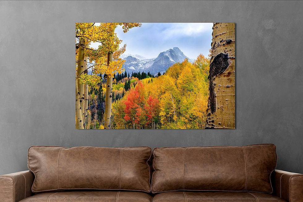
If you are interested, I offer a free service to that can show you how one my photos will look on your wall. Get in touch with me and I let you know what I need from you.


Comments